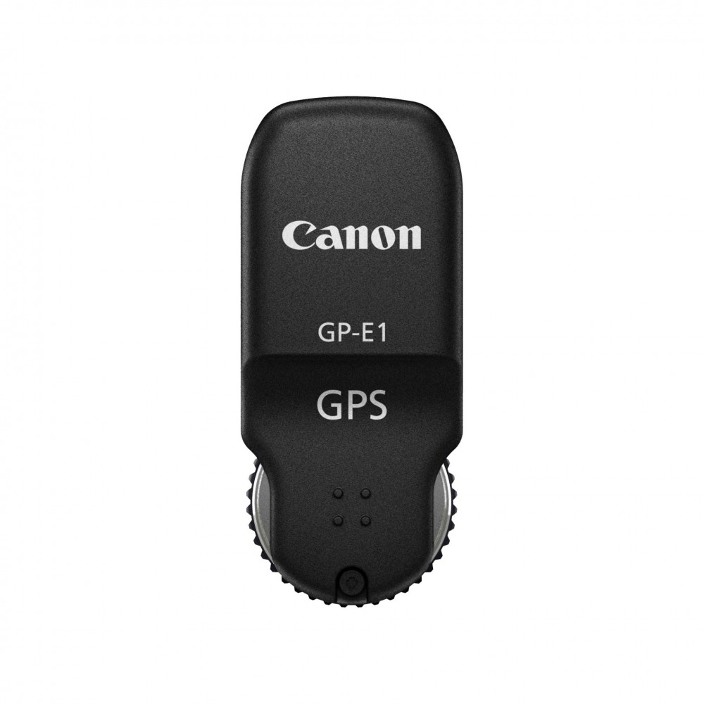


Canon GPS RECEIVER GP-E1
The GP-E1 GPS Receiver from Canon is a convenient tool to enhance the organization of photos and recording of data for photographers constantly on the go. Used exclusively with the EOS-1D X, the GP-E1 is a compact and durable accessory that automatically appends accurate geographical coordinates and cardinal points as Exif data for both images and videos taken with the EOS-1D X.
Featuring accurate clock adjustments and synchronization, Canon designed the GP-E1 to share the same rugged and durable exterior construction as the EOS-1D X without adding any additional bulk. Incredibly lightweight, this receiver integrates seamlessly with the camera's extension system terminal, allowing the hot shoe to remain accessible--while still being powered by the main camera unit. Able to withstand harsh weather conditions, the GP-E1 is a great enhancement to the EOS-1D X for those who wish to take their EOS system out into even the most remote environments.
Rugged, compact, and designed to integrate seamlessly with the EOS-1D X's construction.
When in use, the GP-E1 Receiver will automatically record the geographical information (latitude, longitude, altitude, and cardinal direction) of videos and photos whether the camera is held vertically or horizontally. Detecting altitude is even possible from inside an airplane or helicopter.
Accurately adjusting the EOS-1D X's internal clock is easy because it can use the UTC (Universal Coordinated Time) transmitted from the GP-E1 with a margin of error of about 0.01 second.
The GP-E1 is designed to enhance the workflow of professional users by incorporating global information into an image or video's Exif data. For example, photojournalists and other users can utilize the GPS data to organize their stock photos by location.
Includes GPS Receiver Software, as well as Map Utility software that uses information recorded by receiver to show shooting location/direction on a virtual map. Additionally, ImageBrowser EX software, also bundled, updates Map Utility and makes managing and searching for images easy. It also displays shooting information.